UAS operations for vertical weather profiles
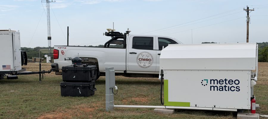

The atmospheric boundary layer extends up to about 2,000 meters above the Earth’s surface, encompassing only a relatively small part of the Earth’s atmosphere. However, its influence on the development of local weather phenomena, including extreme events like tornadoes, is significant. To optimize preparations for tornadoes and severe thunderstorms, the National Weather Service in the US state of Oklahoma is now utilizing Meteodrones from the Swiss company Meteomatics.
Traditionally, weather forecasts have primarily relied on data gathered through a dense network of ground-based measurement stations. This is supplemented by traditional weather balloons, which are intended to provide insights from higher altitudes. However, there can hardly be any talk of a truly reliable vertical weather profile through these means. On the contrary, there is a measurement gap in the very atmospheric layer that is so crucial for climate change, extending up to a few thousand meters in height. With the specially designed Meteodrones, Meteomatics has developed a technology that allows for the regular collection of height-referenced data on temperature, humidity, and wind speed along defined flight paths – up to 6,000 meters high.
Better Data, Earlier Warnings
The additional possibilities for weather observation and forecasting resulting from this method are now set to be structured in Oklahoma. Just like Kansas, Missouri, Nebraska, South Dakota, and northern Texas, the state of Oklahoma lies in what is known as „Tornado Alley“, where severe tornadoes and thunderstorms occur relatively frequently. „Tornadoes form in the lowest few thousand feet of the atmosphere. The drones provide exactly those additional observations that weather models need for short-term and local forecasts“, explains Brad Guay, Head of Government & Defense Solutions at Meteomatics. „The more data we have, the better weather models we become, and earlier warnings can be issued for tornadoes, hurricanes, or winter storms.”
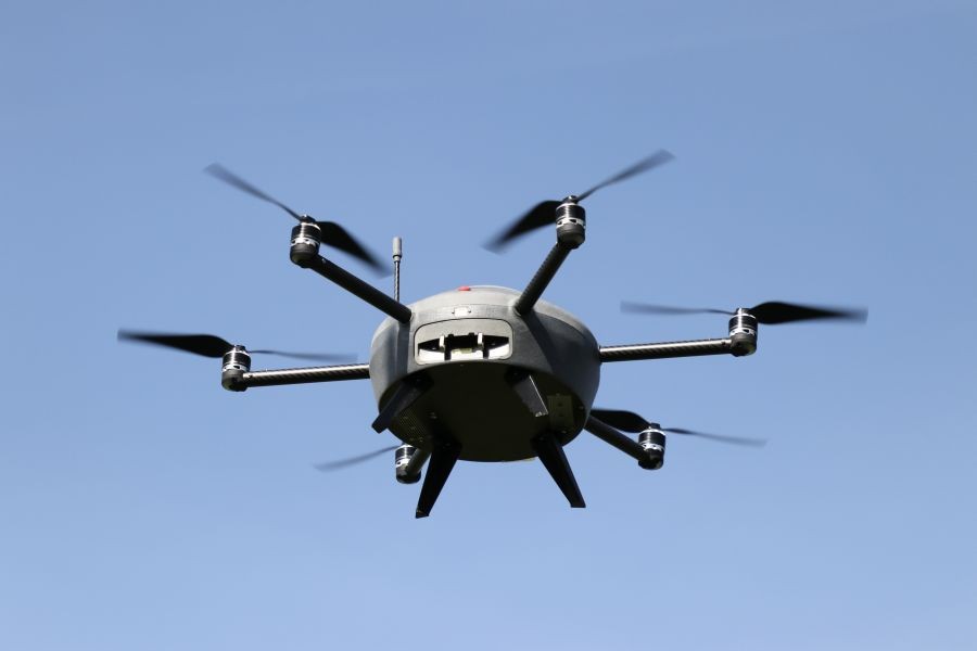
The Meteodrone from Meteomatics has been developed to gather weather data from the lower layers of the Earth’s atmosphere
A team from Oklahoma State University is responsible for collecting data via Meteodrones, which will be integrated with information from ground-based measurement stations in Oklahoma as part of the National Mesonet Program into the weather observations of the NOAA (National Oceanic and Atmospheric Administration). The Mesonet program is essentially a nationwide network of various regional networks. „Mesonet“ is a portmanteau of „mesoscale“ and „network“, with mesoscale referring to weather systems with a horizontal extent of several kilometers up to a few hundred kilometers. In the „Oklahoma 3D Mesonet“, the drones from Switzerland will help better analyze not just the horizontal but also the vertical dimension in the future.
Weather Data with Diverse Benefits
This strategy could also provide advantages in other parts of the world to better forecast increasingly localized extreme weather events resulting from climate change and to implement more efficient prevention and protection measures. „Our Meteodrones complement weather forecasting with previously unavailable data, helping countries and regions prepare and protect themselves better. That is precisely what they were designed for“, explains Dr. Martin Fengler, founder and CEO of Meteomatics. „Our goal is to make vertical measurements of the atmosphere available as regularly as ground station measurements.”
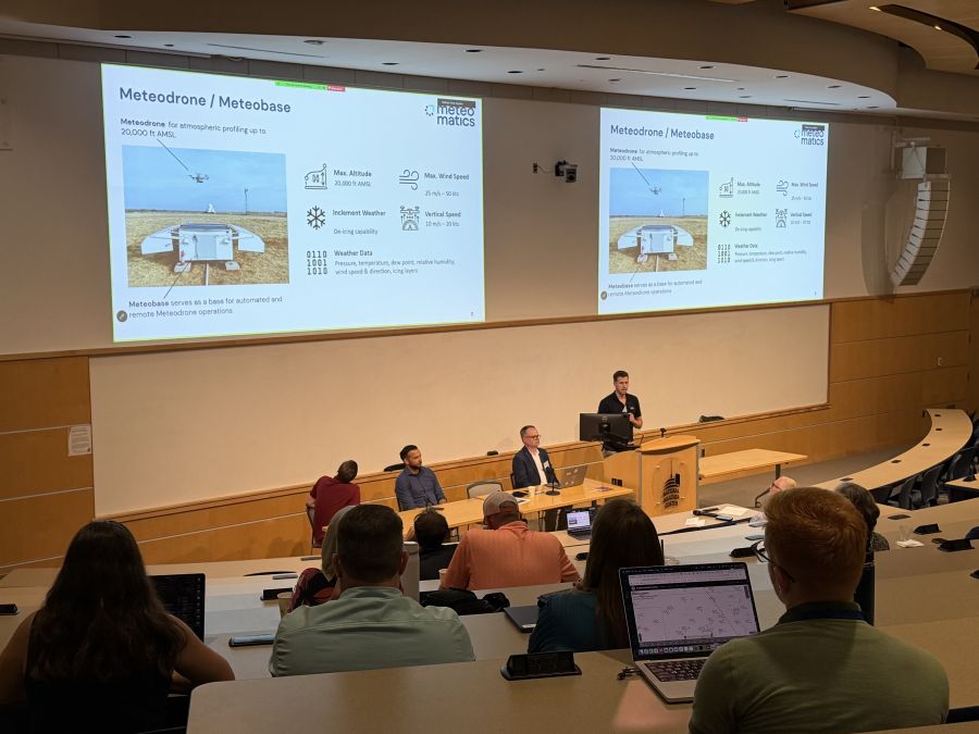
Thanks to a data foundation optimized through drone use, more precise and geographically detailed weather forecasts can be created
More News
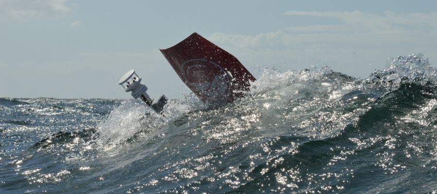
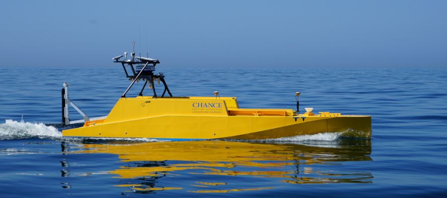
The more accurately and finely weather changes, cloud layers, or fog banks can be predicted, the better this new quality in weather forecasting can be utilized. This is not only for preparation for disaster scenarios but also – for example – for improving efficiency in energy supply through large solar parks. Where fluctuations in photovoltaic performance due to external conditions can be predicted more precisely, grid operators and energy companies can prepare for load peaks and potentially reduce produced energy elsewhere – such as in wind power – or vice versa.
If you use Google as your search engine, you can set Drones as your preferred source so that our content appears more frequently in your search results. Add Drones as your preferred source.