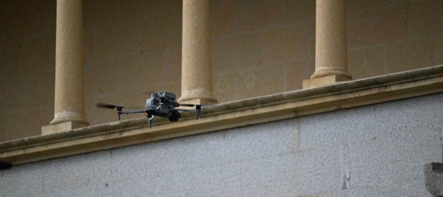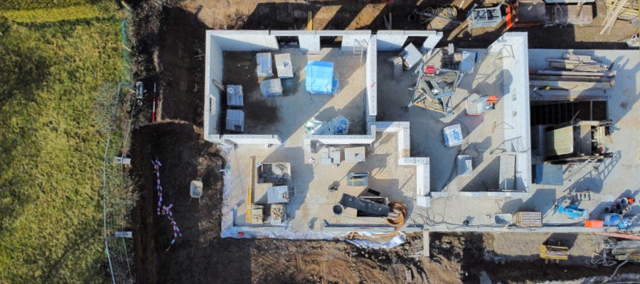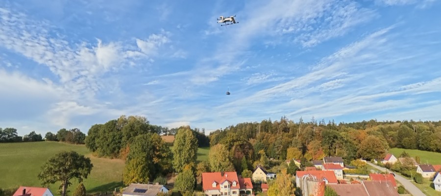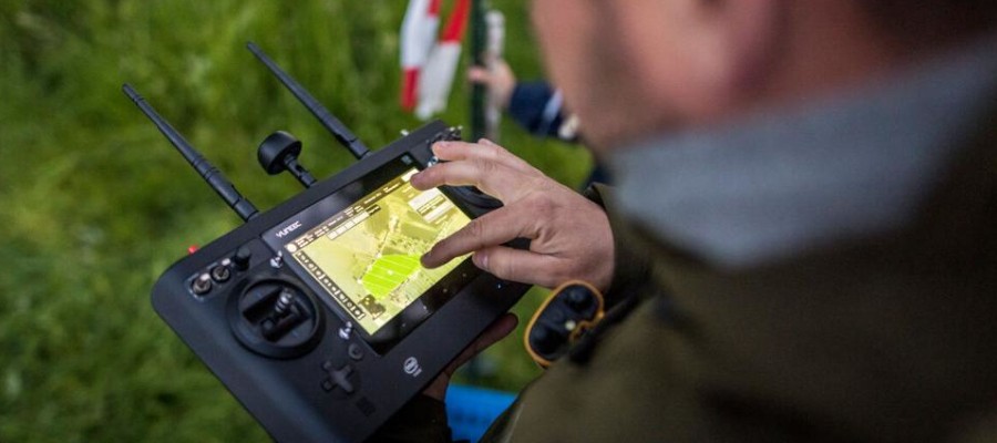

Where is the danger shifting? Which escape routes remain passable? Have people been trapped by flames or floodwaters? Can emergency responders advance safely? In emergency and disaster scenarios, a small drone can help answer these life-critical questions in a matter of minutes. It can fly over rough terrain in just a few minutes, whereas a ground team would need several hours to do so. UAS provide a precise overview from a bird’s-eye view and, using thermal imaging cameras, reveal missing people or animals that remain hidden from the ground.
A Valuable Resource
This reconnaissance capability is no longer the exclusive privilege of the military, the police, or large aid organizations. Across Europe, private individuals, farmers, hunters, and commercial drone operators have access to state-of-the-art systems. Equipped with thermal sensors, high-resolution cameras, mapping software, and excellent flight characteristics, this valuable resource for hazard mitigation is often sitting in a closet just a few kilometers from the scene of the incident.
The crucial question, therefore, is: How can this potential be harnessed safely and effectively? Even if a private individual flies near a wildfire on their own initiative with the best of intentions, this can force the responsible firefighting unit to immediately suspend aerial support for safety reasons. An uncoordinated drone operation to search for people is not only inefficient but may also pose risks to other UAS or helicopters in the air. If multiple systems operate without a coordinated flight plan, some sectors are flown over twice while others remain unexplored. Even valid data quickly loses value for the command center if its source, timestamp, or georeferencing is unclear.
Special National Regulations
European aviation law takes these challenges into account. If a remote pilot unexpectedly encounters a rescue operation, the flight must be terminated immediately—unless the incident command explicitly authorizes the fl…
If you use Google as your search engine, you can set Drones as your preferred source so that our content appears more frequently in your search results. Add Drones as your preferred source.