
Forecasting the trajectories and intensity development of tropical cyclones is one of the most complex tasks in meteorology. However, precise predictions have been proven to save lives and help protect infrastructure. In the 2026 hurricane season, the U.S. National Oceanic and Atmospheric Administration (NOAA) is intensifying the use of uncrewed systems to better understand the behavior of hurricanes and tornadoes.
A central problem in hurricane modeling is the lack of precise measurements in the so-called marine boundary layer. This refers to the part of the Earth’s atmosphere that directly borders the ocean surface. Critical processes of atmospheric energy and moisture exchange occur here, significantly influencing the development and intensity of storms. When a hurricane forms, the area is simply too dangerous for manned reconnaissance missions.
In the eye of the storm
More News
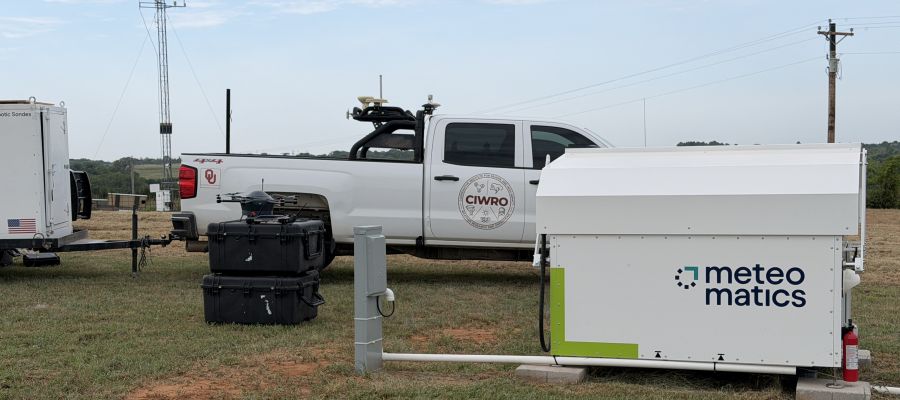
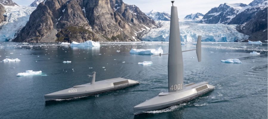
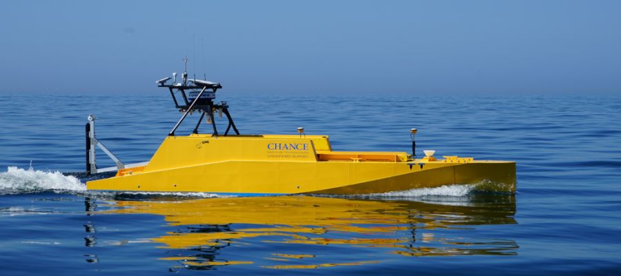
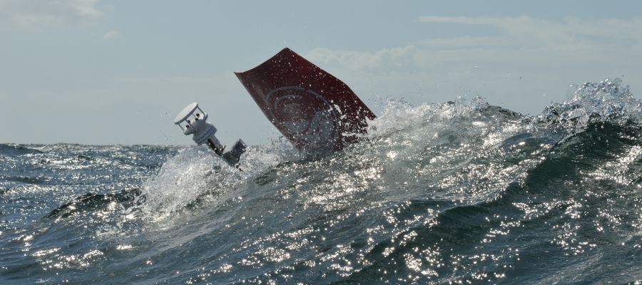
During the 2026 hurricane season, NOAA experts plan to deploy small Uncrewed Aerial Systems (UAS) for the first time to integrate real-time data from previously blind spots in storm research into NOAA’s analysis and forecasting systems. The S0 system from Black Swift Technologies will be employed for this purpose. Weighing just over 1,000 grams and spanning nearly 1,400 millimeters, these small drones are brought close to a storm via an aircraft and then released in flight. Equipped with a variety of sensors, the drones measure wind speed, air temperature, pressure, and humidity, as well as wave height and surface water temperature.
If you use Google as your search engine, you can set Drones as your preferred source so that our content appears more frequently in your search results. Add Drones as your preferred source.