Supporting Decision-Making
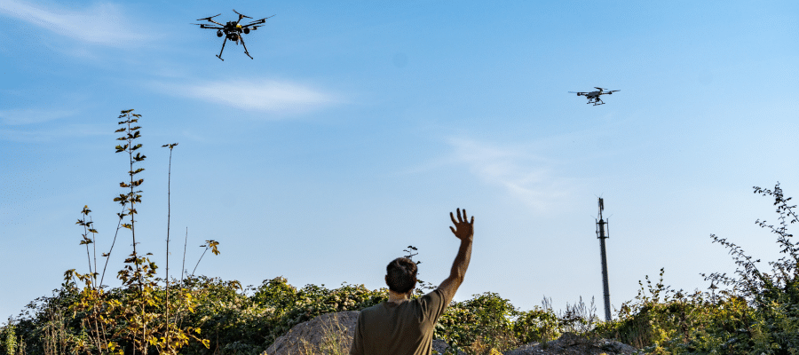

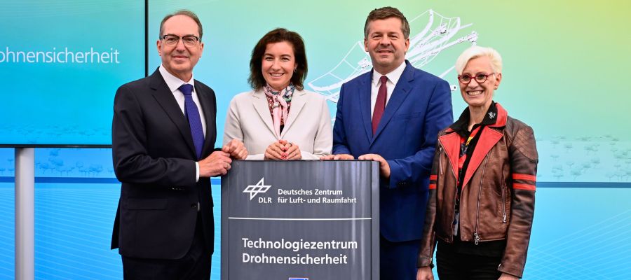
Uprooted trees, damaged buildings, interrupted power and rail networks: When autumn storms sweep across the country, the consequences can be severe. To optimize rescue operations, limit damage, and quickly eliminate repercussions, many individual measures must be coordinated, and risks to rescue workers must be minimized. In October, the potential of unmanned systems was tested during a large-scale technology demonstration in Braunschweig.
A total of 16 different institutes from the German Aerospace Center (DLR) are collaborating on the RESITEK project (Resilient Technologies for Disaster Protection). Together, they are examining how innovative technologies can best enhance civil and disaster protection. A particular focus is on merging a variety of information sources into a comprehensive situational picture tailored to different user groups. While the control center requires a complete overview, a “filtered” situational picture optimized for specific tasks can benefit individual units. This reduces complexity and facilitates focus on the essentials.
Urban Damage Situation
After the exercise “Heavy Rain in Rural Areas”, which took place in June 2026 in the Ahr Valley, the focus shifted to “Storm Damage in Urban Areas” in October in Braunschweig. In the urban context, a high population density, extensive construction, heavy traffic, critical infrastructures, and numerous small-scale damage areas pose special challenges for technology and emergency services. Particularly in a densely connected traffic environment, the safe control of autonomous drone and vehicle fleets becomes increasingly important. While coordination between multiple UAS and manned rescue and police helicopters is required in the air, entirely different challenges arise on the ground.
More News
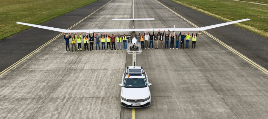
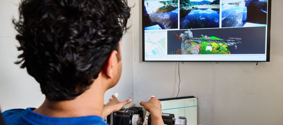
For instance, if unmanned transport vehicles need to be rerouted due to blocked or temporarily impassable roads, they must not obstruct remaining rescue routes. “In a complex damage situation, every minute counts. At the same time, rescue forces cannot be everywhere at once. With RESITEK, we want to demonstrate how different technologies can consolidate information and thereby support situational assessment and decision-making in disaster protection”, explains project leader Dr. Joachim Götz from the DLR Institute of Flight Systems Technology.
If you use Google as your search engine, you can set Drones as your preferred source so that our content appears more frequently in your search results. Add Drones as your preferred source.