Foundation for Safe Urban Drone Operations


The lower airspace is increasingly used for commercial UAS operations and for rescue and reconnaissance missions by police and fire departments. At the same time, drone sightings around airports and military installations have shown significant security gaps, particularly in these areas. Those looking to shape urban flight operations – for example, through U-Space zones – must therefore implement appropriate protective measures from the very beginning.
Warning signal, hybrid threat, wake-up call. When illegally operated drones are sighted near airports or other critical infrastructure, there is considerable commotion, and the discussion about how to detect and defend against uncooperative UAS begins anew. This has been repeatedly observed in recent months. The failed attack attempt on Leipzig/Halle Airport has further heightened the urgency of the situation.
Friend-Foe Issue
And although coherent answers and concrete measures have largely been absent, the various incidents across Europe have made one thing unmistakably clear: the lower airspace, which we want to open to logistics flights and inspection missions, is precisely the flight path most exposed to hostile or careless intruders. Against the backdrop of the diverse efforts to utilize the European U-Space concept, this is an alarming finding. Counter-UAS must not be a security measure retrofitted onto U-Space; it must be embedded from the ground up in the architecture’s foundation.

Without real-time situational awareness, regulatory and security authorities cannot monitor the lower airspace or organize increasing air traffic
The fundamental challenge lies not in detection itself but in precise identification, or rather, in the “friend-foe distinction”. Legally operated drones fundamentally produce the same signatures as illegally used UAS. This is especially true in a densely built-up area and amidst the electromagnetic background noise of a city center. Not to mention that it is difficult to distinguish between inadvertent and intentional violations from a distance.
With the “Action Plan on Drone and Counter-Drone Security”, published in February 2026, the European Commission has tasked EASA with developing certification criteria for counter-drone systems. Furthermore, the EU Commission is pushing for detection data to be integrated into a common European situational picture alongside findings from the European border surveillance system, EUROSUR. Notably, the Commission’s analysis acknowledges that most member states still lack a standardized, certified interface for directly integrating U-Space or Remote-ID data into national air traffic control and police systems. The result: A sensor may trigger an alert, but the warning goes unheeded due to the lack of a reliable target address.
Sensor Fusion
That is precisely why Remote-ID and information services are increasingly evolving from mere infrastructure elements into the backbone of the security architecture. A drone or even a UAS swarm that sends a verified Remote-ID via a mandatory U-Space subscription can essentially be clearly distinguished from unregistered flying objects – provided that the data stream reaches the decision-makers in a timely manner.
The industry has quickly reacted to close this gap. Hensoldt’s Elysion platform — a mission control software based on a scalable mix of radar, electro-optical, and infrared systems (EO/IR) as well as effectors — has been selected for the equipment of the new drone defense unit of the federal police. Vehicle-mounted detection systems have been delivered since April 2026. Rohde & Schwarz covers high-frequency (HF) direction finding and multiband jammers for government and military clients through its Ardronis product line, while Dedrone — originally founded in Kassel — combines HF, radar, and EO/IR data with AI-supported classification. Some systems from the 2026 generation, particularly Enforce Air from D-Fend Solutions, specifically focus on taking control of the drone (cyber takeover) rather than using jammers or kinetic means. The advantage is clear: a foreign flying object can be controlled and maneuvered into a safe, predefined landing zone, thereby avoiding risks associated with the “shooting down” of an illegally operated drone.
“U-Space Light”
Not surprisingly, costs vary enormously: simple monitoring systems for individual areas can cost around 50,000 to 150,000 euros; integrated, complete solutions for critical infrastructure can reach into the millions; while highly specialized platforms for military use can reach two-digit millions per unit. In civil aviation, the EASA is working to directly incorporate the SORA-2.5 methodology for ground risk assessment into U-Space regulation. Additionally, it has introduced a softened “U-Space Light” model — divided into pre-U-Space, intermediate, and full stages — to expedite approvals for beyond-visual-line-of-sight (BVLOS) flights in less-congested airspace. The crucial added value for drone service providers is that those who can demonstrate reliable risk containment and identification under SORA 2.5 will increasingly acquire a security certificate. After all, this regulatory framework serves as a grid for detecting deviations and unauthorized flights immediately.
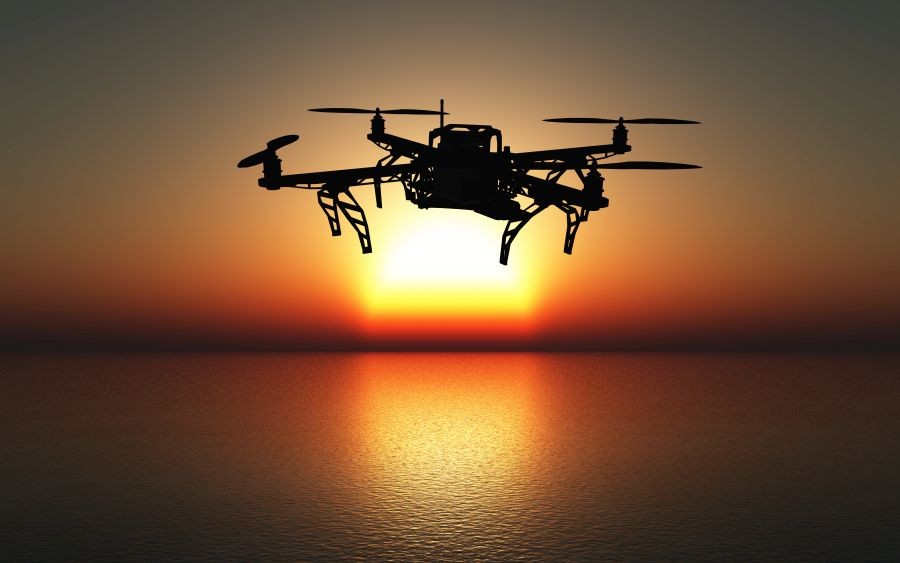
Friend or foe? The distinction is often difficult to make, especially since technical and electronic features rarely provide absolute clarity
The numbers speak for themselves: the global market for counter-drone systems, which was estimated at 5.12 billion US-Dolla in 2025, is expected to grow to 8.5 billion US-Dollar in 2026 and aim for the mark of 28 billion US-Dollar by 2032. The EU Commission’s action plan underscores this dynamic with the commitment to establish voluntary performance standards for drone defense by the end of 2026 and to conduct an EU-wide risk assessment by the third quarter, which will feed into a future “Drone Security Toolbox”.
Trust as Infrastructure
Neither particularly high jammer output power nor maximum radar range alone can solve this problem. Ultimately, everything hinges on whether Europe can integrate U-Space data, Remote-ID, police networks, and military intervention authority into a single, reliable situational picture — fast and reliably enough to distinguish a swarm of logistics drones from a larger number of illegally operated UAS. This must be done before a hostile object reaches its target, and especially in time for countermeasures to be taken.
If you use Google as your search engine, you can set Drones as your preferred source so that our content appears more frequently in your search results. Add Drones as your preferred source.