Documenting Drone Operations with skylogs.de
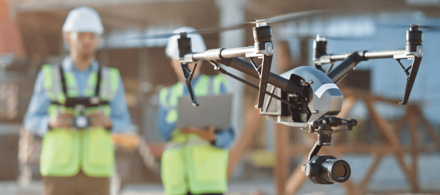

For commercial UAS operations, comprehensive and efficient flight documentation is of enormous importance for monitoring processes and optimizing planning. The web and mobile platform skylogs.de offers a practical digital solution for this: As an all-in-one platform, it combines the digital flight log, fleet management, compliance checks, and airspace queries, helping to reduce administrative burdens and ensure compliance with legal requirements.
A core feature of the application is the digital flight log. In addition to manual data entry, skylogs.de offers a direct import function for DJI FlightRecord files. This automatically imports telemetry and flight data, significantly reducing the effort required to document missions. In the detailed flight view, the system consolidates all relevant parameters—including precise mission data, flight times, maximum flight and takeoff limits, location coordinates on an interactive map, and prevailing weather and visibility conditions.
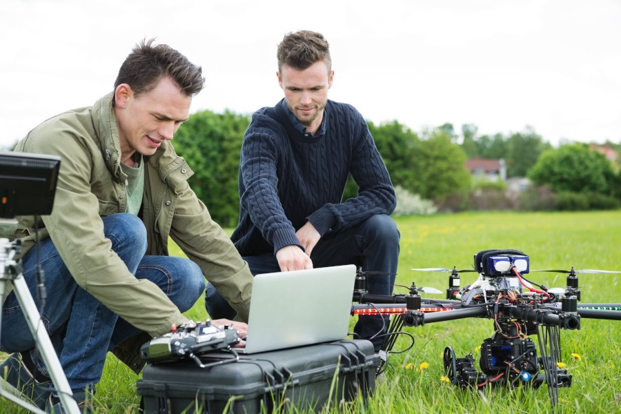
Fleet management is one of the system’s strengths. Here, you can view the maintenance histories of the drones in use at any time (Photo: Adobe Stock – Tyler Olsen)
Focus on Fleet Management and Compliance
For companies and organizations with multiple unmanned aerial systems, skylogs.de offers comprehensive fleet management. Drones and their associated pilots can be managed based on their current status. An integrated maintenance log reminds users of upcoming inspections, lists due dates, and allows for the recording of maintenance types and accrued costs. In addition, the platform serves as a central archive for certifications and documents: EU certificates of competence, flight permits, or maintenance logs can be directly assigned to the respective drones, pilots, or flights. This allows operators to maintain full compliance control even during regulatory audits.
Safety Through Integrated Airspace Check
To minimize risks prior to missions, skylogs.de offers a flight preparation module. An integrated UAS zone map based on official data from German Air Traffic Control and the digital platform for unmanned aviation displays geographical restrictions, control zones, and specific requirements at the planned takeoff location—such as distances to residential areas or nature reserves. Additional information on generally applicable operating rules, such as the 120-meter altitude limit or visual flight requirements, supports the pilot before takeoff.
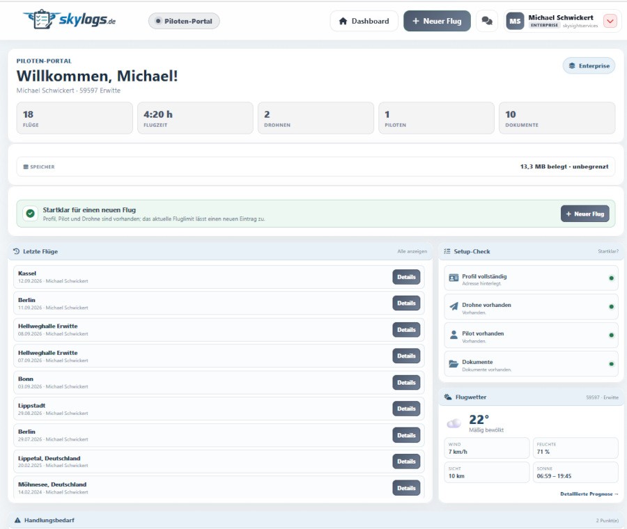
Logged flights are displayed clearly. Handy: Log data from DJI drones can be imported directly—other systems are expected to be compatible in the future
Relevance for the Drone Industry
The system from skylogs.de is further evidence of the increasing professionalization of software infrastructure, which represents a decisive step toward the scalability of commercial UAS operations. While hardware development is often the focus, in commercial operations the efficiency of administrative processes frequently determines a project’s economic viability. Platforms like skylogs.de address precisely this bottleneck by reducing the bureaucratic burden through automation.
This is particularly relevant for fleet operators who must manage complex maintenance cycles and regulatory reporting requirements. The integration of official airspace data and automated import interfaces reduces the risk of human error in flight planning and documentation. In this way, the software makes a significant contribution to the acceptance and safety of unmanned systems in professional settings.
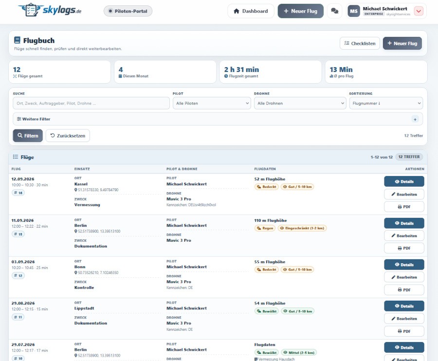
The personalized flight log allows for a detailed analysis of pilot-specific data
skylogs.de in a Real-World Test
In practice, skylogs.de—tested here in the Enterprise version for 19.90 euros per month—impresses with a successful balance of feature set and usability: Despite the enormous depth of input options, the user interface remains clear, and navigation is intuitive after a brief learning curve. Flights can be documented in extreme detail—in addition to standard data, parameters such as visibility conditions, the exact purpose of the flight, batteries used, and permits obtained are all included.
The software truly shines beyond mere logging: practical fleet management features—including comprehensive maintenance histories, inventory data on batteries and equipment, and integrated checklists—significantly streamline day-to-day operations. The direct integration of the airspace map also proved to be a real added value in field testing, as takeoff site conditions can be checked immediately without switching to other software solutions. For companies and government agencies, the platform also offers a crucial compliance advantage: Thanks to individual pilot profiles and drone assignments, complete traceability of all missions and operations is guaranteed at all times.
If you use Google as your search engine, you can set Drones as your preferred source so that our content appears more frequently in your search results. Add Drones as your preferred source.