Drones and AI Are Revolutionizing Geodata Analysis
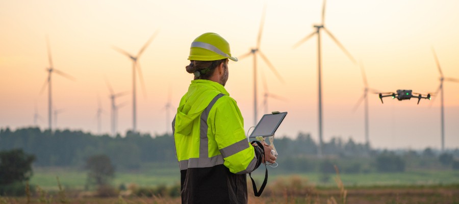

The collection of geodata is undergoing a fundamental transformation through the use of drones and artificial intelligence. As manual processes are increasingly automated, digital twins and predictive models enable precise condition monitoring. For decision-makers in industry, the “Drone as a Service” model offers new economic opportunities to plan complex infrastructure projects more efficiently and make informed decisions based on real-time data.
The way we capture and understand our environment has changed dramatically. Where terrain was once painstakingly surveyed and rigid, two-dimensional maps were created, interactive databases and digital twins now dominate the landscape. Information from a wide variety of sources is fused into GPS-referenced real-time situational awareness maps. Drones and AI algorithms have become virtually indispensable for collecting and processing the necessary data.
Data is a tricky thing. If it’s missing, subsequent processes are like flying blind. However, if there’s too much of it, processing it adequately becomes a real challenge, and the risk of not seeing the forest for the trees increases significantly. Where once a large number of personnel and just as much time had to be allocated, the collection, processing, and interpretation of even the greatest flood of information are now
largely automated. This profound transformation is largely based on optimized methods for data acquisition as well as rapid advances in the fields of artificial intelligence (AI) and machine learning (ML).
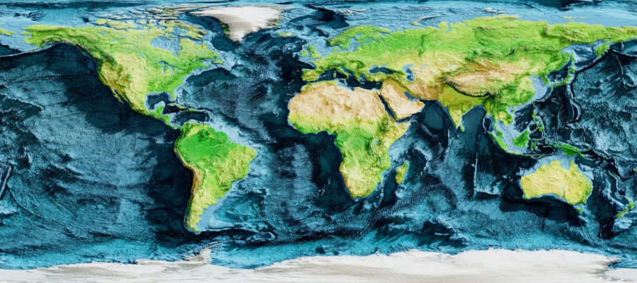
Day by day, the global collection of geodata grows, which can then be used to train AI algorithms (Photo: Jimmy Tran – Adobe Stock)
Customized Data
For the UxS industry, this development is closely linked to a new business model: “Drone as a Service” (DaaS). It acts as a catalyst for the industry’s development, as it simplifies the integration of AI and ML into geospatial data processing and minimizes economic barriers to entry. Companies no longer need to invest in expensive hardware, software licenses, or the training of specialized personnel; instead, they can use flexible subscriptions to purchase customized data—essentially “on demand.” And the next stage of development is already on the horizon. So-called “geospatial AI” makes it possible to identify patterns based on spatial geodata and make spatial predictions in real time. For example, regarding the spread of certain pests or where particularly severe erosion is likely to occur.
Geo-AI is based on geographic data used to train algorithms for creating models, analyses, and predictions. In this process, space is quantified and characterized in relation to time to calculate the probabilities of various events, as well as to simulate and validate decision options in virtual worlds before physical or financial resources need to be mobilized. One scenario illustrates this synergy: A survey conducted by drone via a DaaS service provider feeds the data directly into a digital twin model. This allows engineers and inspectors to precisely assess structural changes in buildings without ever having to physically visit the construction site. For example, by analyzing the progression of a crack over time to prioritize upcoming repairs as needed.

Those who rely on specialized service providers hardly need to be physically on-site or rely on traditional maps and plans to stay up to date on construction progress or changes to the terrain (Photo: qunica-com – Adobe Stock)
Looking deeper into the algorithmic processes, the modernization of geodata processing is particularly evident in four core areas:
> Automation of analysis and processing:
The vast amounts of data generated by GPS, satellites, LiDAR, and UxS can no longer be meaningfully managed manually. Machine learning breaks through this barrier by automating data cleansing, cross-sensor integration, and structured analysis. Patterns in images are identified far more quickly than by human analysts.
> Feature extraction:
This process specifically filters and isolates specific objects or conditions from large volumes of image data. ML models accurately detect road networks, building outlines, bodies of water, agricultural boundaries, or environmental changes from a bird’s-eye view. For DaaS providers, this is a critical lever: The image data captured during a single survey flight can be processed in such a way that a multitude of spatial features are extracted simultaneously.
> Predictive modeling:
By jointly processing existing archive data and current live data, AI systems generate highly accurate predictions. For example, the probability of flooding can be calculated by cross-referencing precipitation patterns with high-resolution terrain data. Similarly, urban growth can be anticipated, and crop yields can be forecasted. Only regular data collection over the same area provides the insights required for the continuous training of predictive models.
> Image Recognition and Classification:
AI tools identify objects in aerial imagery with ever-increasing accuracy. Convolutional Neural Networks (CNNs), in particular, have become established for distinguishing critical infrastructure—such as bridges or roads—from natural landscape features like rivers and forests. As the library of high-resolution images grows with every DaaS deployment, the quality of the training datasets improves, leading to a steady optimization of recognition accuracy.
In addition to growing libraries of training data, steady advances in deep learning and computer vision are also contributing to the optimization of geodata processing. Deep learning models are becoming increasingly sophisticated at precisely locating objects, semantically classifying them, and detecting temporal discrepancies in Earth imagery. Here, too, the law of scaling ultimately applies: the more comprehensive the training data, the more accurately the neural networks perform.
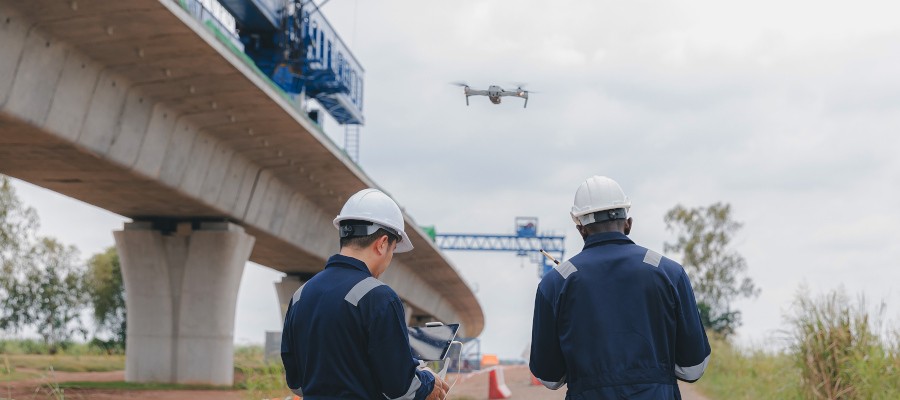
While service providers or personnel already on-site conduct aerial surveys at construction sites or in disaster areas, specialists can access data from various sites and projects right from their offices (Photo: kanpisut – Adobe Stock)
Collaborative Approach
To accelerate this process, pre-trained base models are coming into focus. If an organization has a model that has already been trained on a wide variety of images from diverse regions around the world, customized AI applications can be implemented in a fraction of the usual development time. An example of this collaborative approach is the partnership between NASA and IBM. Together, they are developing a freely accessible geospatial AI model that has been trained on an immense volume of standardized satellite images.
At the same time, innovations in three-dimensional spatial understanding are pushing the boundaries of urban digital twin modeling and precision agriculture. The most exciting development for unmanned aviation, however, is the fusion of drone platforms with edge computing. This means that computationally intensive geo-AI processes are increasingly being shifted from the remote cloud directly to the unmanned aerial vehicle’s hardware. The drone is evolving into a flying supercomputer that interprets sensory data directly on board using computer vision, thereby enabling autonomous real-time decisions in the field.
Hurdles and Guiding Principles
Despite the considerable potential, practitioners are confronted with fundamental limitations and ethical questions. The availability and qualitative integrity of geospatial data remain a significant hurdle. Acquiring high-quality geospatial data is still comparatively complex and expensive, and the computational power required to train complex ML models is immense.
A profound problem concerns the phenomenon of algorithmic bias in the training datasets. If the data fed into a geospatial algorithm is incomplete or irrelevant, this bias inevitably manifests itself in the model’s predictions. In critical applications such as the allocation of medical resources or route planning for emergency responders during disasters, such bias can have serious consequences.
With the increasing geographic and temporal resolution of modern geospatial systems, data protection and data security are also coming into focus. The collection, storage, and algorithmic processing of high-precision location data can affect sensitive areas and are therefore already subject to strict legislation, which is likely to become even more stringent in the future. This creates an obligation for companies and operators of unmanned systems to establish transparent guidelines that appropriately take into account sensitive areas of public life.

In the field of precision agriculture, extreme efficiency gains can be achieved using individualized data and its AI-based analysis (Photo: BKP – Adobe Stock)
Technological Trinity
In summary, it can be stated that geospatial AI has made the leap from research laboratories into everyday industrial practice in recent years. Its transformative impact on logistics, urban planning, infrastructure inspection, and disaster and environmental management has become an undeniable reality. The technological trinity of flexible, cloud-based “Data-as-a-Service” platforms, continuously maturing machine learning models, and on-demand collection of high-resolution data by drone service providers has lowered the barriers to sophisticated geospatial data analysis to an entirely new level.
For drone operators and industry stakeholders, the implications are far-reaching: As modern ML systems develop an ever-greater appetite for geodata of impeccable quality and high temporal frequency, the demand for the services of “DaaS” providers will rise significantly. The challenges surrounding data quality, algorithmic fairness, and data protection governance are real and require continuous attention. Yet, as an integral part of modern data infrastructures, Geo-AI is inexorably establishing itself as one of the defining analytical tools of our time.
More News

Featured image: kelvn – Adobe Stock
If you use Google as your search engine, you can set Drones as your preferred source so that our content appears more frequently in your search results. Add Drones as your preferred source.