
The precise surveying and monitoring of long pipeline routes, known as linear infrastructure, can be carried out efficiently and accurately using Unmanned Aerial Systems (UAS). However, the path from the initial pilot project to an economically attractive overall system is more challenging than one might initially assume. It is essential to establish a meaningful process chain for data collection, storage, and analysis. The UAS used plays a comparatively minor role in this process.
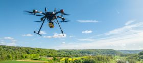
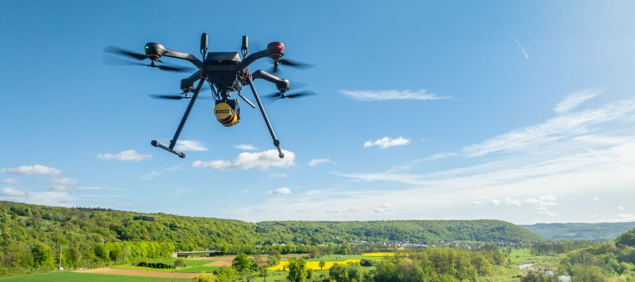
Traditionally, pipeline route inspections are conducted via regular helicopter flights. The goal is to detect events such as unauthorized construction activities, subsidence, or unwanted tree growth along the pipeline at an early stage. However, this method is time-consuming and costly and generates significant noise disturbance for residents. Augel GmbH from Weibern in Rhineland-Palatinate has specialized as a construction service provider for highly sensitive facilities in the petrochemical and manufacturing industries and is also active for companies in the energy sector. The company is increasingly relying on unmanned systems, for example, to offer a more efficient, lower-emission, and regular monitoring of routes using drones.
Digital transformation
The company recognized the potential of modern surveying technology as part of the construction industry’s digital transformation. In 2023, the Augel 3D Solutions department was established to build drone surveying and 3D measurement as a new service division. The goal is to document construction sites and pipeline routes more efficiently, safely, and accurately. The idea is that drones can quickly and contactlessly capture large construction sites and long pipeline routes. This allows for seamless documentation of construction progress, and in the inspection of pipelines, drone-based approaches could complement or replace traditional helicopter flights.
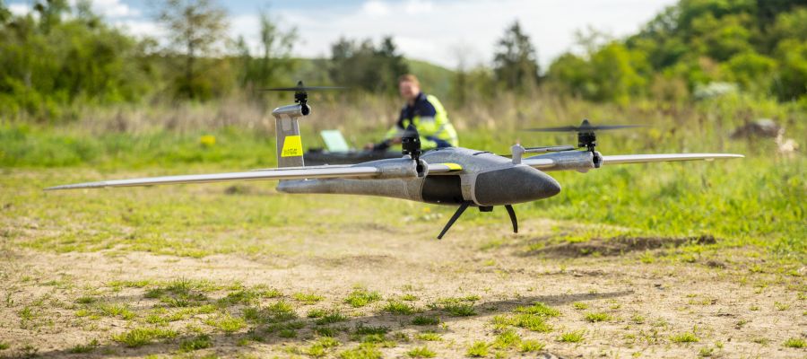
On long, rather flat sections, VTOL (Ve…